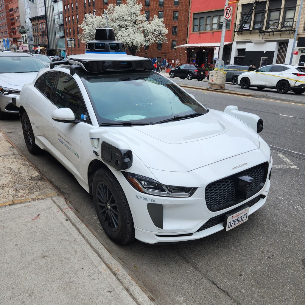
Alphabet’s autonomous driving unit, Waymo, and navigation app Waze have announced a data-sharing pilot program that uses Waymo’s robotaxi fleet to automatically detect and report road potholes.
The collaboration aims to leverage the LiDAR, cameras, and radar sensors equipped on Waymo vehicles to pinpoint road damage with high precision in real time. The collected data will be integrated into Waze’s city data platform, providing municipal departments with actionable insights to streamline road maintenance.
The pilot is currently underway in five key markets: Austin, Atlanta, Los Angeles, Phoenix, and the San Francisco Bay Area. According to Waymo, its vehicles have already identified approximately 500 potholes across these regions.
Improving Urban Traffic Safety
Beyond providing data to city officials, the pothole information will be pushed directly to local Waze users. This means drivers can be alerted to road hazards ahead, significantly enhancing safety.
While Waze users have long been able to report road conditions manually, this partnership complements existing crowdsourced data with the high-fidelity accuracy of autonomous sensor arrays. Furthermore, Waze users can help verify the data captured by Waymo’s systems through their own real-world driving experiences.
Waymo currently operates commercial services in 11 U.S. cities and continues to test in several others. While the pilot is limited to five cities for now, both companies have indicated that they plan to expand the program to more regions as it matures.
Industry analysts note that utilizing autonomous vehicles as a mobile sensor network is an innovative approach to urban management. Compared to traditional road inspection methods, sensor-driven autonomous fleets offer a more frequent, cost-effective, and dynamic way to monitor road conditions.